The SAWS has warned of a yellow level 4 storm alert for northern provinces. Heavy rain, lightning, and hail may cause road closures and property damage. Residents should exercise caution.
Image: File Doctor Ngcobo/ Independent Newspapers
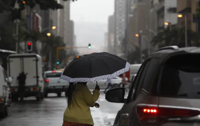
Heavy downpours and severe thunderstorms are set to lash northern parts of South Africa, with Gauteng, Limpopo, and Mpumalanga placed on a yellow level 4 warning by the South African Weather Service.
The alert, in effect from Sunday, 28 December, to Monday, 29 December, warns of potentially dangerous weather that could disrupt daily life across the region.
The Weather Service warned, “There are indication of significant thunderstorms that may occur resulting in heavy downpours leading flooding of roads, settlements and low-lying areas, resulting in closure of some bridges and roads, excessive lightning, strong damaging winds, and large amounts of small hail that are expected over northern parts of Gauteng, vast parts of Mpumalanga and the southern and central parts of Limpopo.”
The agency further warned that the impacts of the storms could be severe.
According to the agency, “Flooding of roads, settlements, and low-lying areas, resulting in closure of some bridges and roads. Damage or loss of infrastructure, settlements (formal and informal), property, vehicles, livelihoo,d and livestock.
''Large amounts of small hail over a populated area. Large hail over a populated area. Damage to settlements or structures over a populated area (urban or rural villages).”
The alert follows a yellow level 2 warning issued on Saturday, 27 December 2025, for severe thunderstorms across North West, Gauteng, Mpumalanga, Limpopo, eastern Free State, and western KwaZulu-Natal.
At the time, the Weather Service highlighted “severe thunderstorms associated with heavy downpours leading to localised flooding of susceptible roads, settlements and low-lying bridges/areas, excessive lightning and large amounts of small hail.”
Extremely high fire danger conditions were also forecast for the Kai! Garib local municipality and Francis Baard district in the Northern Cape.
Provincial forecasts provide further detail on the expected conditions.
In Gauteng, residents were advised to prepare for partly cloudy and warm weather, with scattered showers and thundershowers.
Mpumalanga was expected to experience morning fog along the escarpment, followed by cloudy and cool to warm conditions with scattered showers and thundershowers.
Limpopo’s northern areas would see isolated showers, while the southern and central parts would experience cloudy and warm conditions with scattered thunderstorms.
The North West Province was forecast to be partly cloudy and warm to hot, with scattered showers and thundershowers, while the Free State would have isolated showers in the west and scattered showers in the east.
The Northern Cape was expected to be fine in the west, with isolated showers in the extreme northeast.
The Western Cape would experience partly cloudy, warm to hot conditions, very hot along the northern parts of the west coast.
Eastern Cape residents could expect cloudy conditions, light rain along the coast, and scattered showers inland, while KwaZulu-Natal would experience morning and evening fog along the escarpment and scattered showers during the day.
The public has been urged to stay alert, exercise caution, and take necessary precautions when travelling.
IOL News