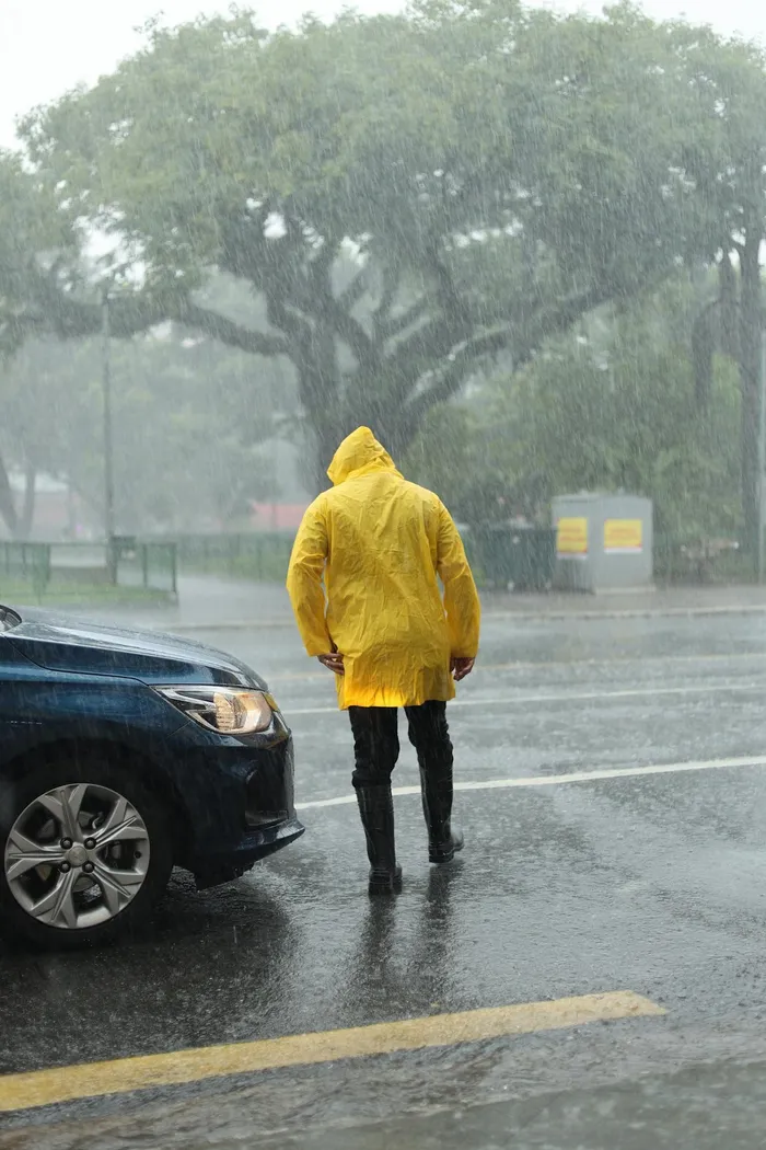
Parts of the Western Cape have been placed under a Yellow Level 4 weather warning as severe thunderstorms threaten to bring heavy downpours, hail, and flooding.
Image: Pexels
The Western Cape is in for a wet and unsettled day as a line of showers and thundershowers spreads across the province, bringing the risk of heavy downpours, hail and localized flooding.
The South African Weather Service has placed parts of the Western Cape under a Yellow Level 4 warning for severe thunderstorms, signalling a heightened risk of disruptive and potentially dangerous weather.
Conditions are expected to deteriorate from the early morning hours, particularly across the Overberg and the southern Cape Winelands, before expanding into surrounding areas as the day progresses.
Rain chances are high across much of the province, with a 60% likelihood of showers over the Cape Winelands, Overberg, Garden Route and interior districts.
Along the south coast and adjacent interior, the probability increases to around 80%, while pockets of very heavy rain may push the chance of rainfall close to 100% in the far southern and southeastern parts of the province later in the day.
The West Coast faces lower odds overall, closer to 30%, but isolated showers cannot be ruled out.
Some of today’s storms may turn severe, producing intense short duration rainfall, small to locally large hail and strong gusty winds.
Rainfall totals of 50 to 80 millimetres are possible in parts of the Overberg and southern Winelands, which could lead to waterlogged roads, flooding in low lying areas and dangerous driving conditions.
Temperatures will be kept on the mild side under thick cloud cover, with a cool and damp feel persisting through the afternoon.
While showers may ease in some areas toward evening.
Motorists are urged to be cautious, especially near fast flowing streams and drainage crossings.
IOL News